What We Offer
Complete Geospatial Solutions for Every Project
Professional surveying and mapping services delivered with precision and expertise.
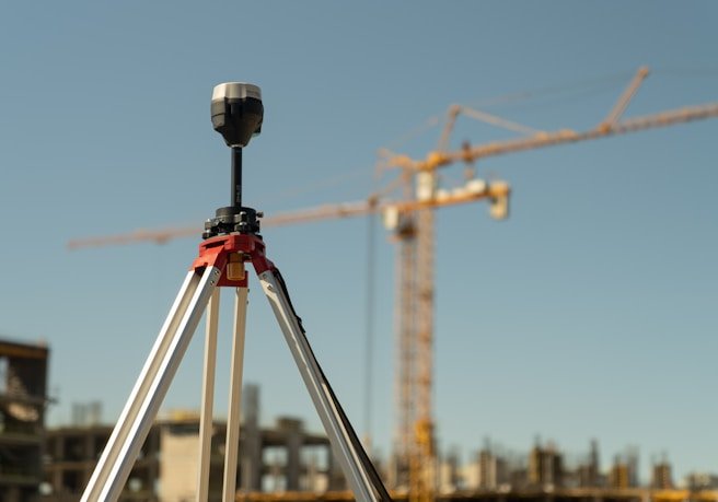
From traditional land surveying to cutting-edge 3D scanning and aerial mapping, we provide the complete spectrum of geospatial services with unmatched precision.
Professional surveying and mapping services delivered with precision and expertise.
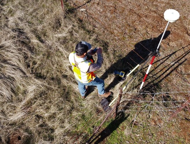
We provide accurate boundary determination and legal documentation to define property ownership with confidence. Our surveys help prevent disputes and ensure compliance with local regulations.
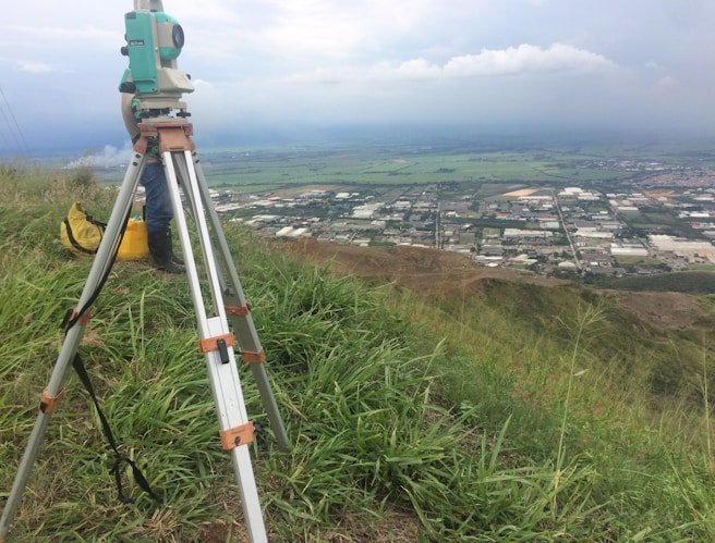
Detailed mapping of land features including elevations, slopes, and terrain conditions to support engineering, design, and development projects.
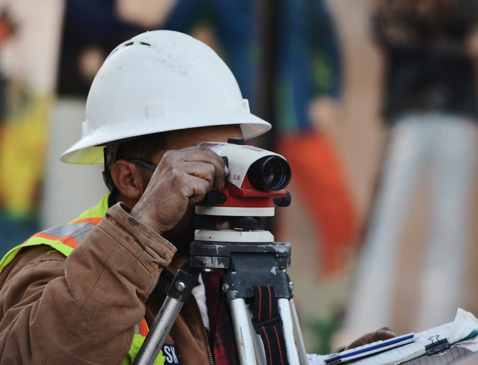
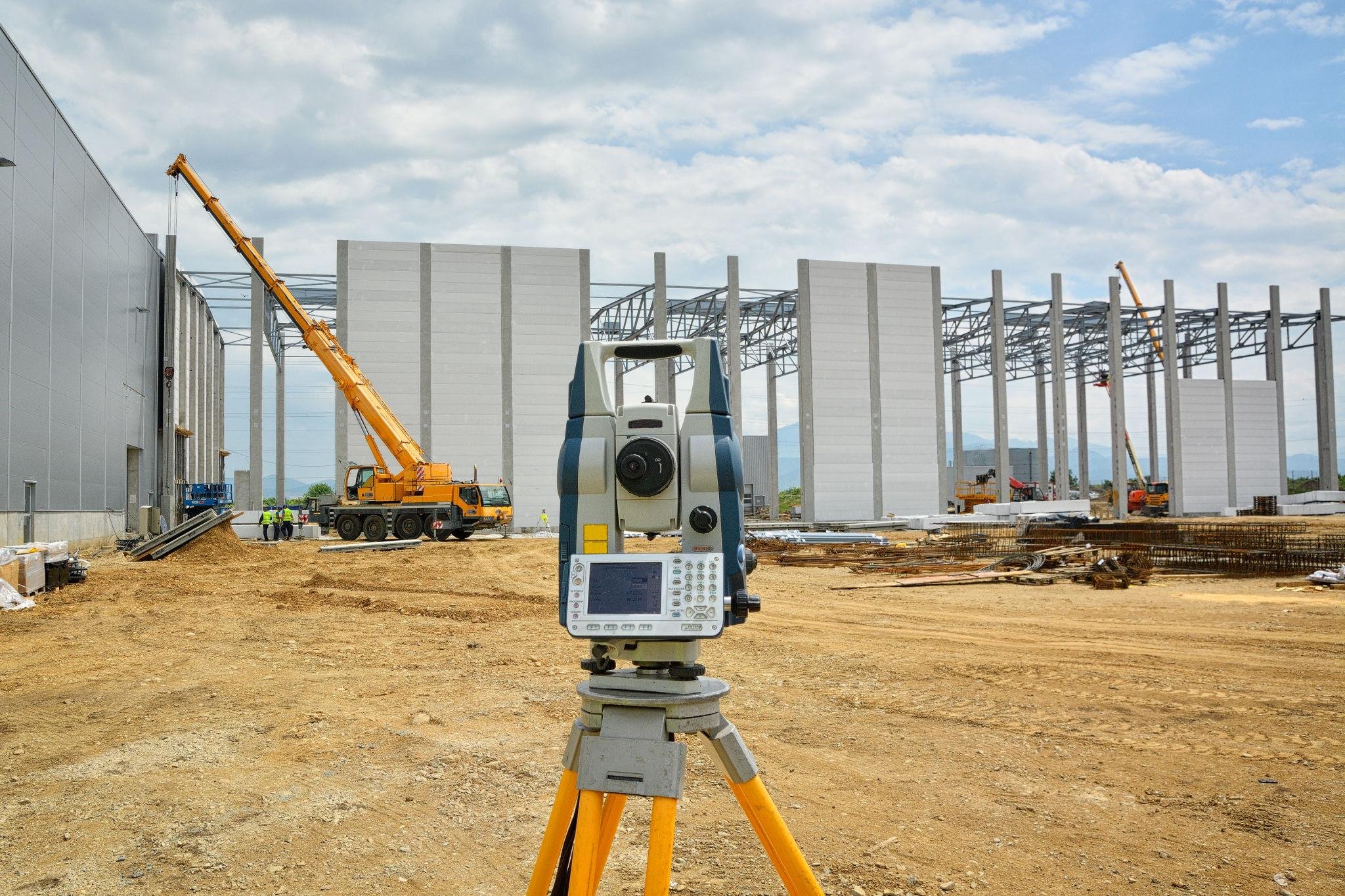
From planning to completion, we provide accurate layout and verification services to ensure your construction project is executed exactly as designed.

We offer a wide range of additional surveying services tailored to project-specific and municipal requirements.

Contact our team today for a free consultation and discover how our comprehensive services can bring precision to your project.